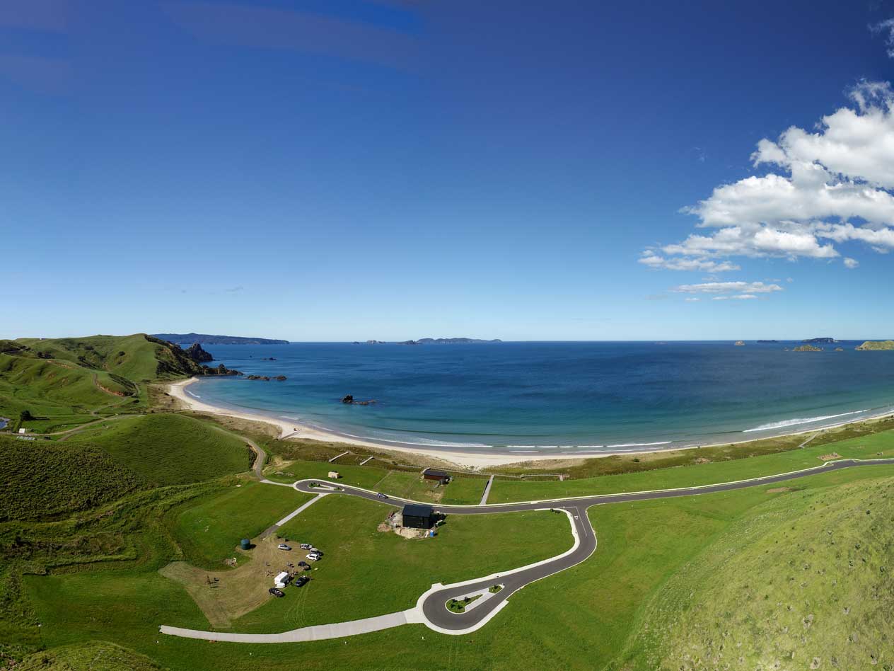
In the competitive property market, we give quality services, providing images and video from a new perspective.
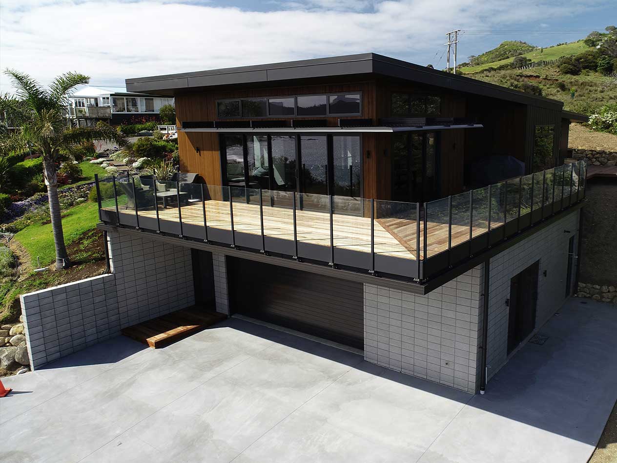
Visual updates on project development and final documentation.
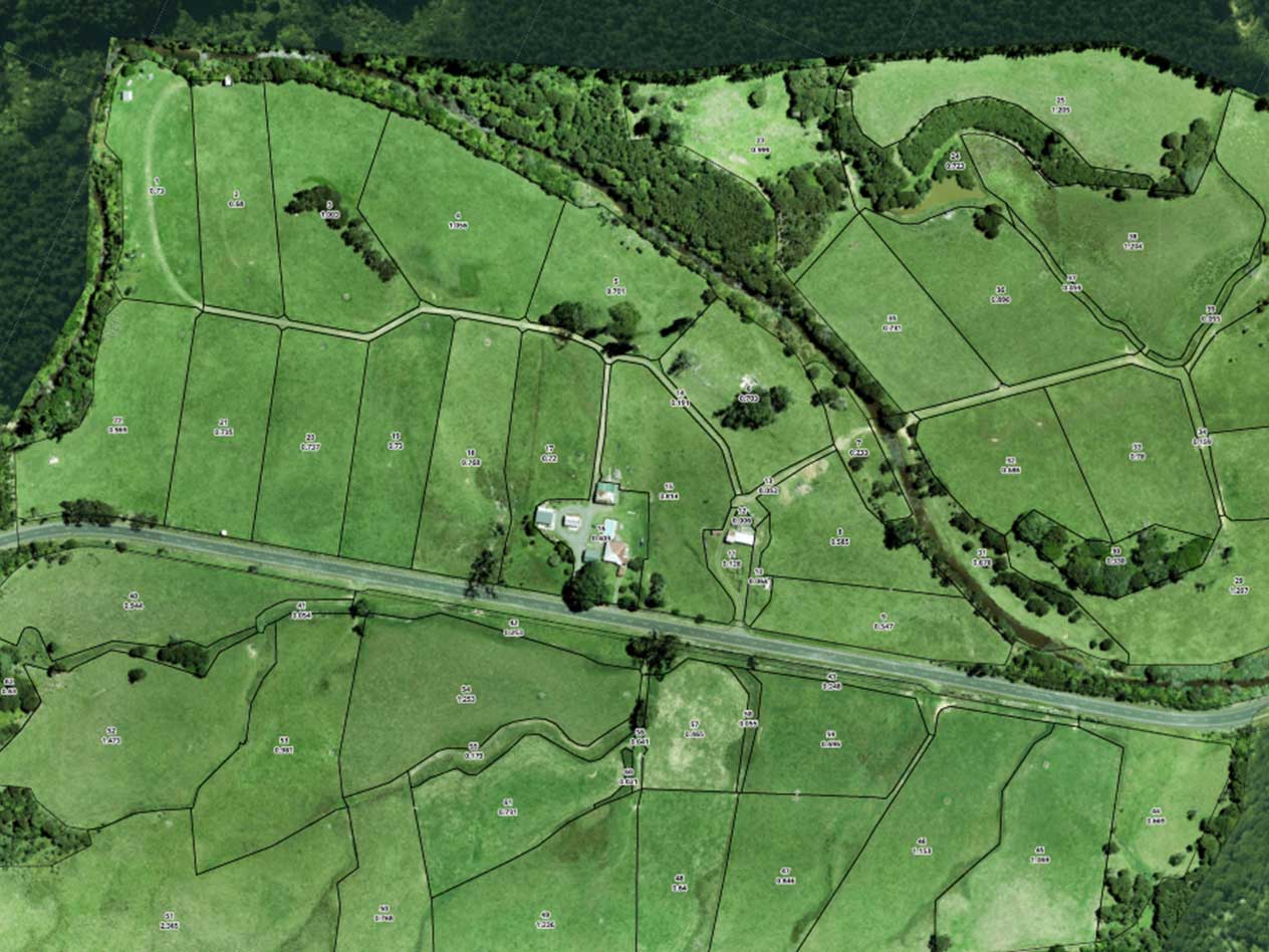
High-resolution aerial mapping for construction, agriculture, and infrastructure projects.

Gather valuable, accurate and detailed insights to inform your ventures and support your projects.